Di's lobster dinner last night took its revenge on her digestive system (enough said!). She has always been a bit sensitive to hard shell crustaceans, like crab and lobster, but tries to eat it in small doses for special occasions...hmmm.
So Di awoke today tender and tired - no hiking for Di and she was upset about that.
Hans sets out at 7am on the selected loop trail, after momentary sympathy, followed by a dash for the door. Bye!
Today's hike was recommended by our motel owner. The hike takes in 3 mountains and some excellent views.
This is the Runkeeper representation. 13.7 km over 5 hours and 13 minutes. Again, not a fast hike as there was quite a bit of rock-scrambling involved and stunning views that needed to appreciated.

The drive from Aurora Motel to the trailhead at Jordan Pond House took perhaps 20 minutes and Hans was the 3rd car parked there at around 7.20am. Of course, when Hans returned after his hike, the parking lot was in chaos as there is a restaurant at Jordan Pond House and a lot of people come there without any intention of exercise other than walking from the parking lot to the restaurant, eating and then back again.
The Jordan Pond Path for the first 3km or so is relatively flat and great as a warm up.

It looked like somebody had taken a bite out of the lowest sign...?

Intersection where the Sargent South Ridge Trail starts going north towards Mount Sargent, the highest of today's mountains.

The trail was gradually climbing and views were getting better and better. Hans had an apple break at the spot below.
Green, green as far as the eye can see.


Then Hans reached today's first peak called Cedar Swamp Mountain. Not really that tall at 942 feet or 300 meters but it had some great views towards the west.
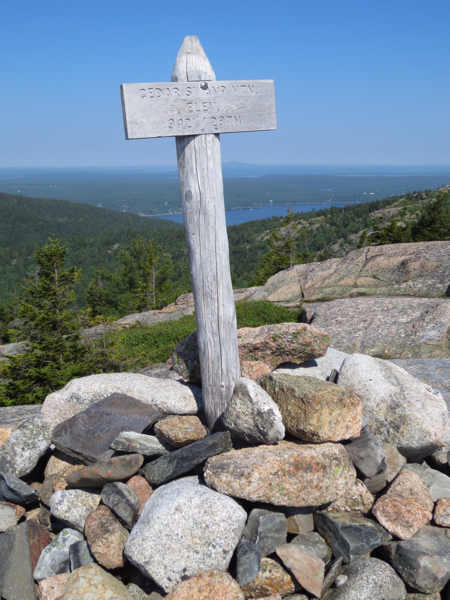
And views to the south as well.

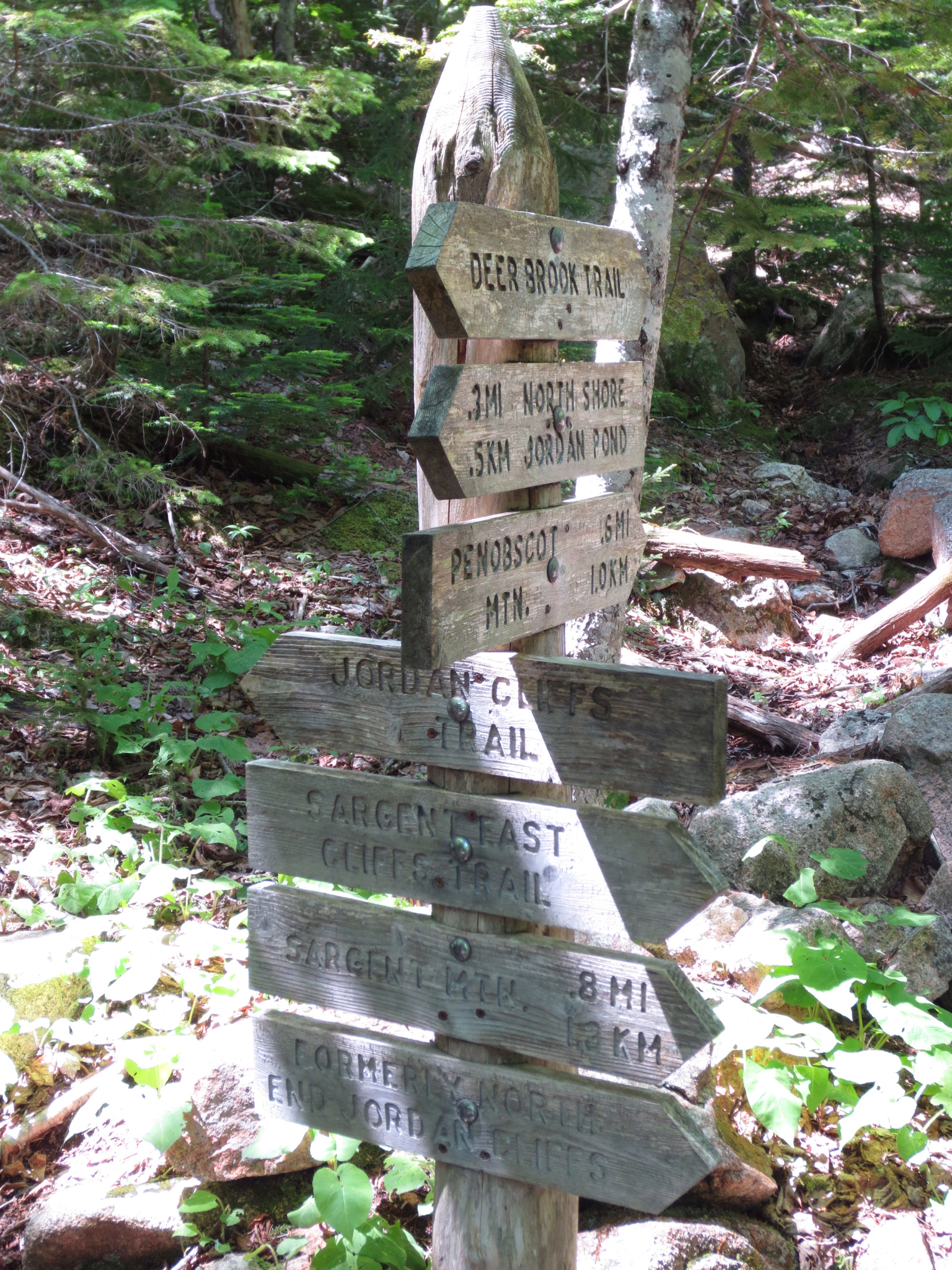
Here Hans took a wrong turn. You may note that the top 2 signs point in a slightly different direction to the 3rd sign?
Well, Hans didn't pick it at the time and indadvertedly chose the Amphitheater Trail. He picked the error after 5 minutes or so when the trail was suddenly all down and down and the map and common sense said that it should be up and up. Backtracking...
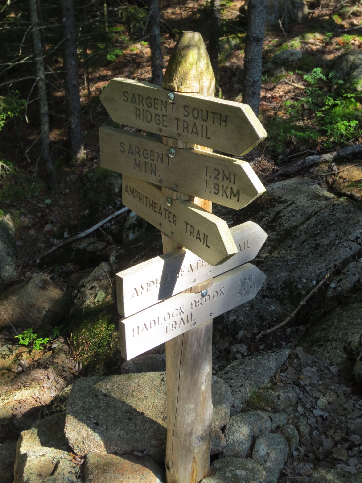
This is how it looked away from the sign above. Hans took the right trail when he saw the blue marker there when he should have taken the left trail. Oh well, less than 15 minutes lost and Hans is on his way.

More views to the east... And also the marker for the top of Penabscot Mountain (middle of picture, slightly to the left) that will eventually be the third and last peak to visit. It felt a bit like a tease... So close... And still so far away.

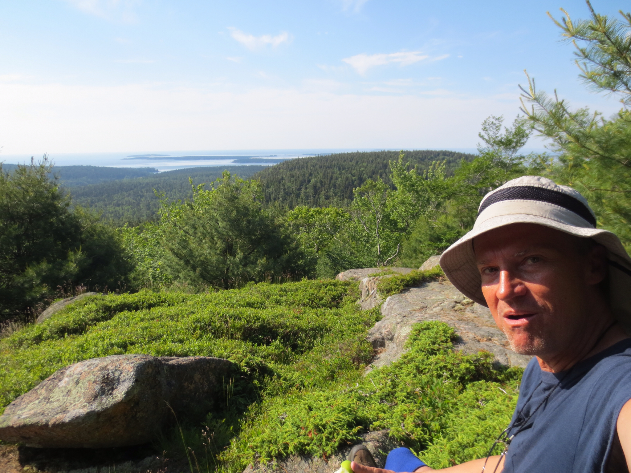
OK, Hans was perhaps getting a bit carried away with views. It looked so good on this beautiful day in Maine.

Just one more... For now.
We are getting closer. We can see the marker at the top of Sargent Mountain.

And even closer...

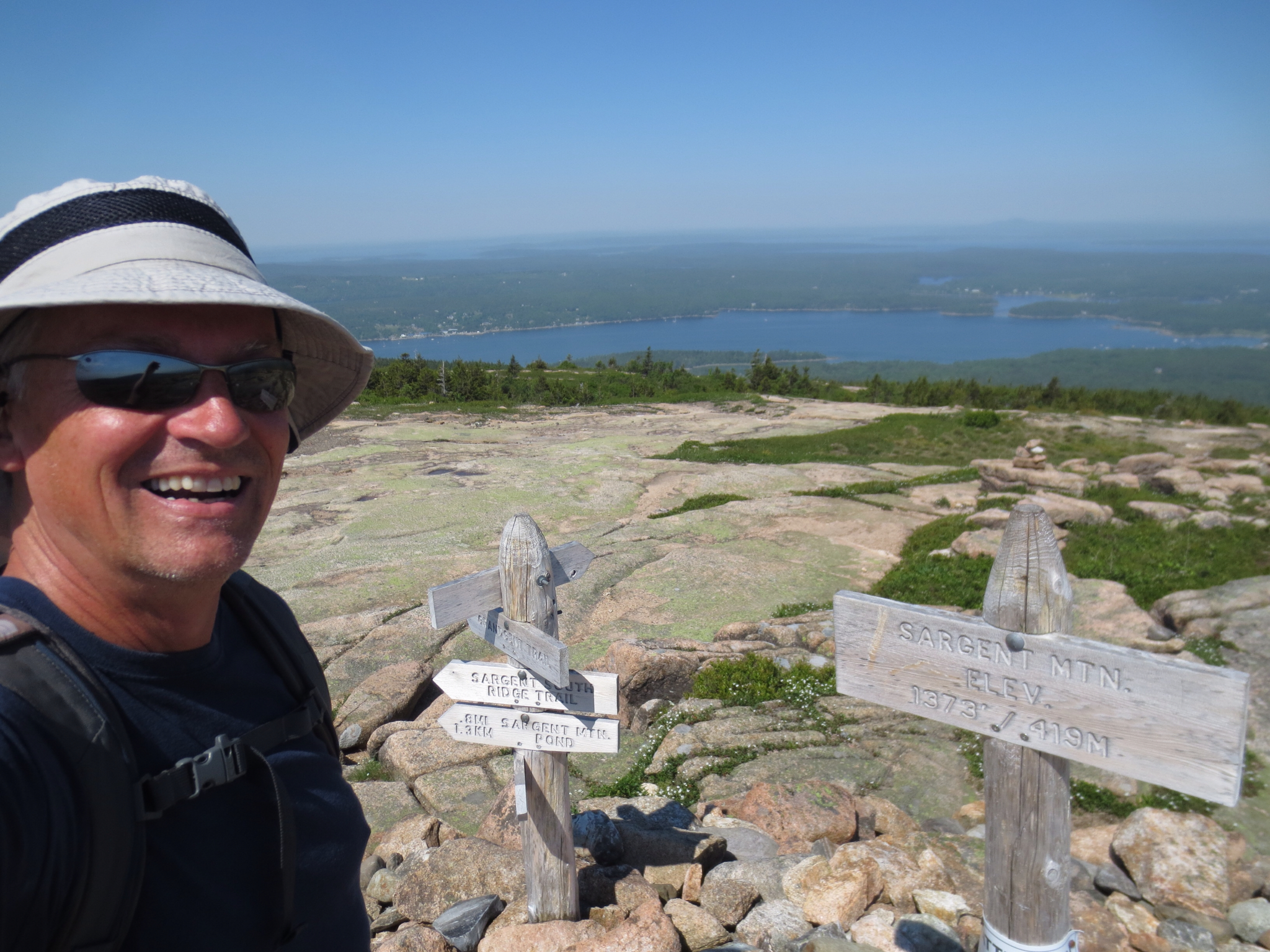
There. Hans at the top of the pile, Sargent Mountain at 1373 feet or 420 or so meters.
Up until now, Hans had seen only one single person on the trails, a runner in shorts and shoes only who looked very fit as he ran past Hans up the hills. No one was at the top when Hans arrived, but he was soon joined by 4 other hikers.
Looking west from the top of Sargent Mountain.
Looking northwest, into something called... Southwest Valley. It all depends on where you start from we guess...

Hans took the East Cliffs Trail from Sargent Mountain and this is where it started to get tricky. The trail was very steep going down as one of the hikers Hans spoke to at the top there had advised him. She was not wrong.
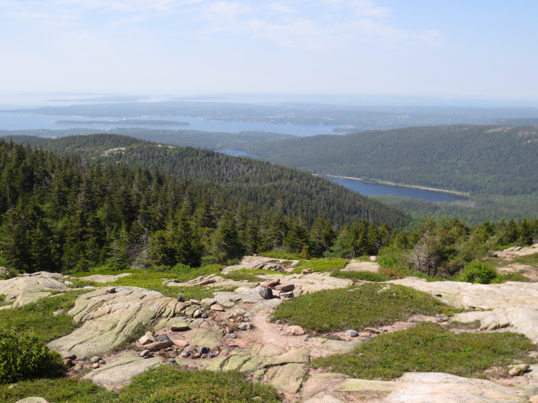
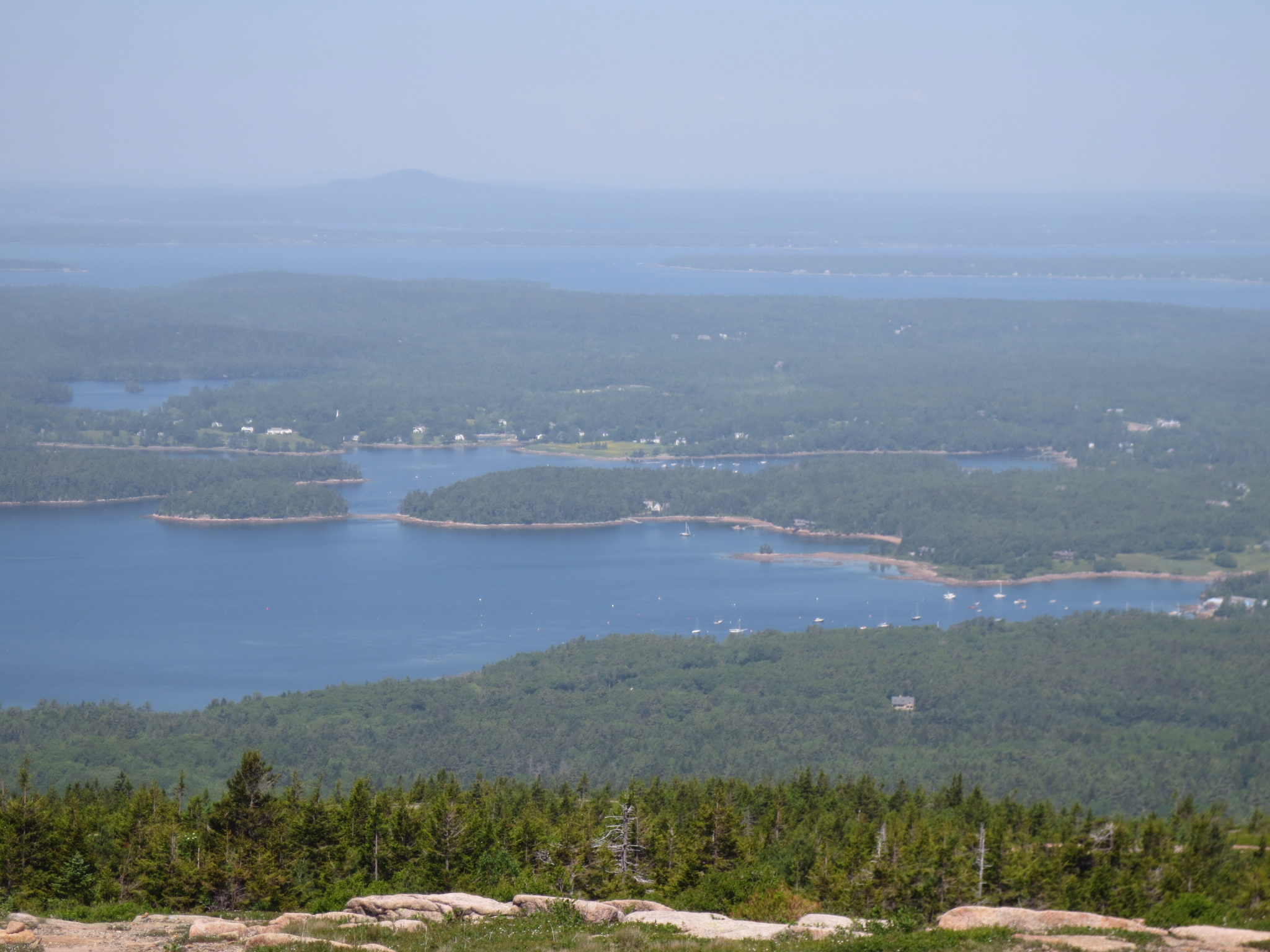
In one spot though, you could clearly see the two main collections of water in the area.
First Eagle Lake to the north where we went to have a look yesterday (at its northern side and furthest away on the photo)

To the southeast is Jordan Pond. Hans started this hike near the southern tip of this lake.
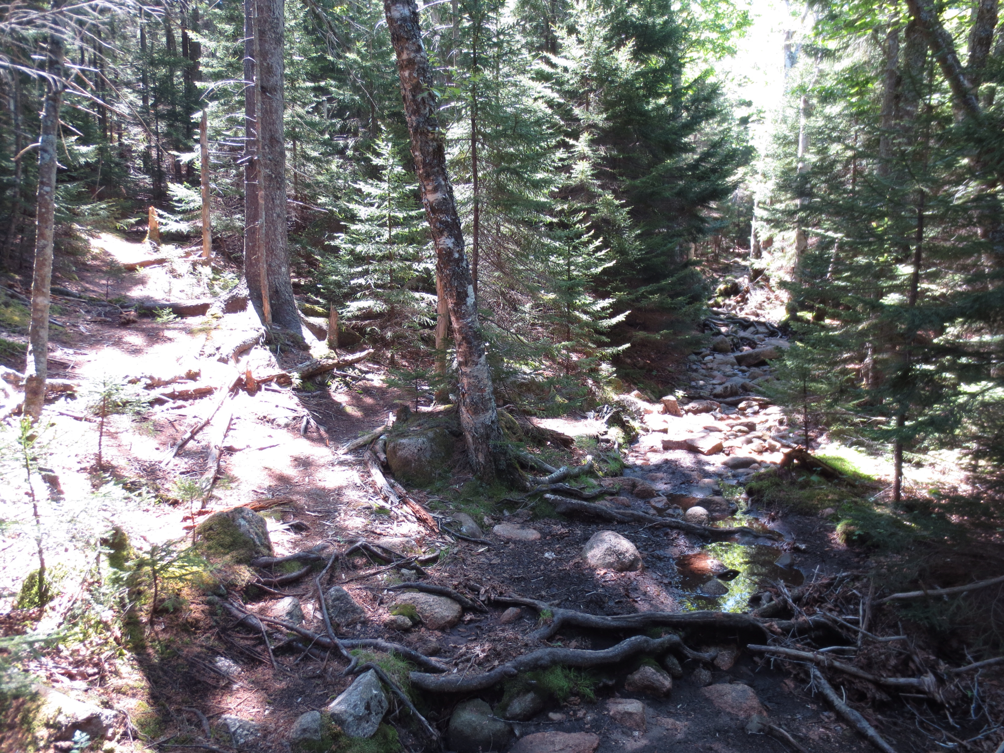
As Hans was hiking upstream on the Deer Brook Trail, he got a bit peeved off about the markings. Or lack thereof. Most of the trails so far had been superbly marked either with blue markers or cairns or up on the ridges with both. No cairns here and the blue markers were far and few between.
Case in point, at one stage Hans was met with the below scenery. No blue markers were to be found. Which way to go? The map says that that the trail sort of follows the creek, but...
Hans chose the right path which turned out to be the right path. This by the way was only one scenario of several where the path was very much unclear.
Then this. Others must have complained and the National Park guys put in a couple of token metal sheets into a couple of trees. Fine, but 10 or 20 times as many would have been better.
Hans was happy to see the end of Deer Brook Trail.

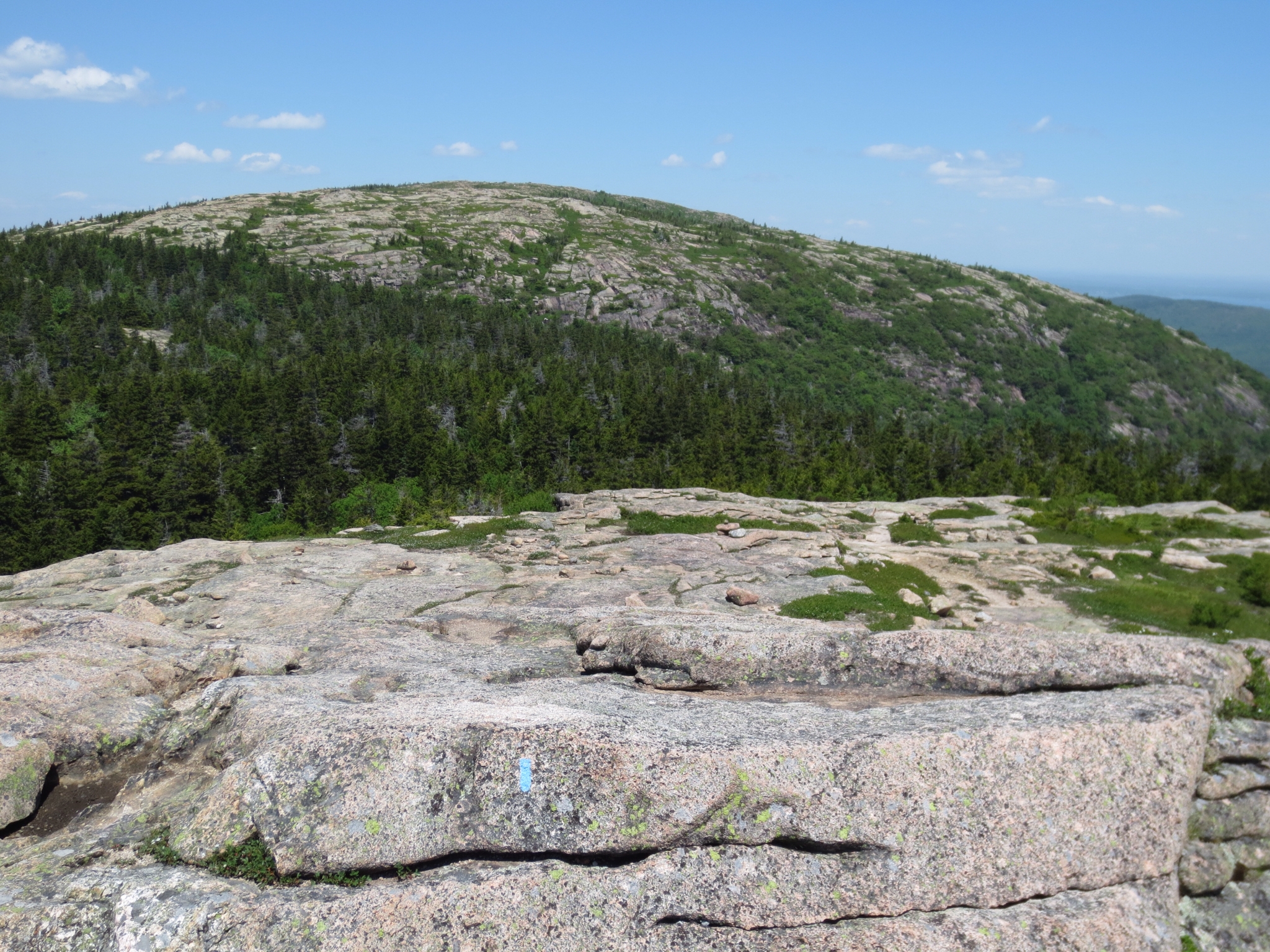
Soon thereafter we are up on Penobscot Mountain at 1194 feet or less than 400 meters, the peak we saw from a distance a bit earlier on.

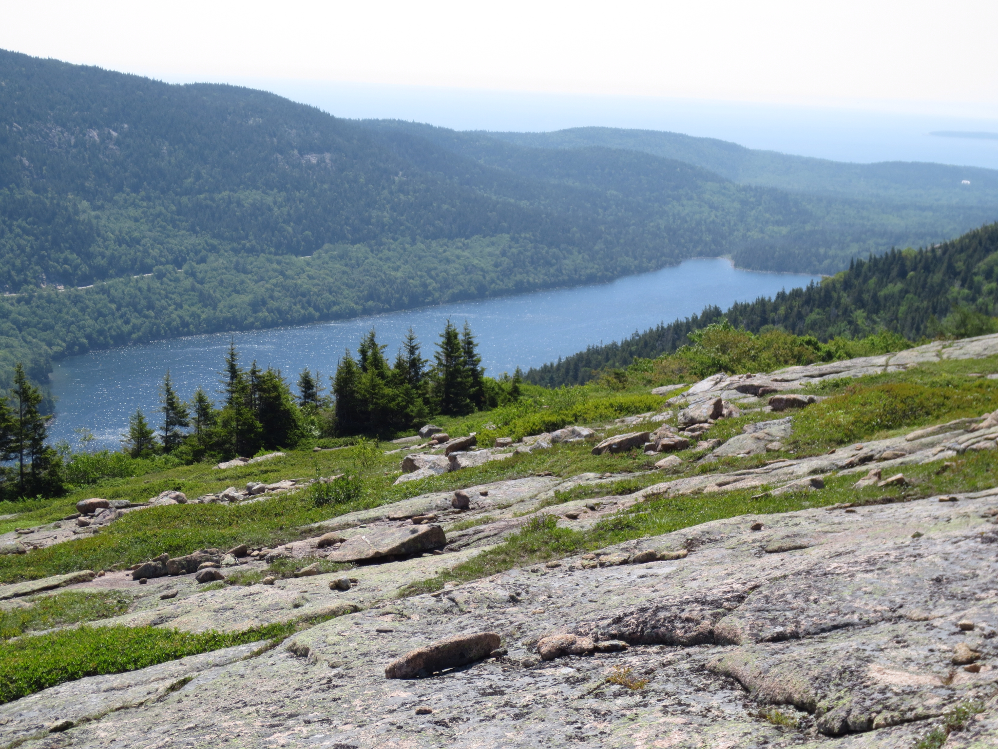
Looking back from Penabscot Mountain towards Sargent Mountain. You can see the valley where the going down was so steep in the between where all the trees are.
More great views from Penobscot Mountain.

Looking south... And we are on our way again... South.

Hans almost stepped on a green little snake on the path behind a rock. It looked a bit like an Australian tree snake with its very fluorescent green color, but it disappeared very quickly and Hans had no chance to take a photo of it. Post hike reference to Wikipedia suggests that it could have been a Smooth Green Snake.
Then suddenly, looking up...
We had been told that the Jordan Cliff Trail which runs parallel to Penobscot Mountain Trail, the one that Hans is on, is closed at the moment as Peregrine Falcons breed there and now have young chicks (fledglings). The rangers obviously want to protect the small colony of falcons and their chicks that they have. Apparently, there were only 4 pairs breeding there last year.
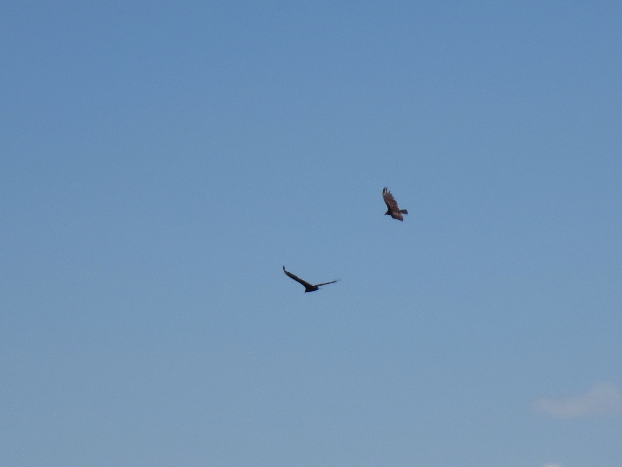
First one Peregrine Falcon...

Then two...
Then five...
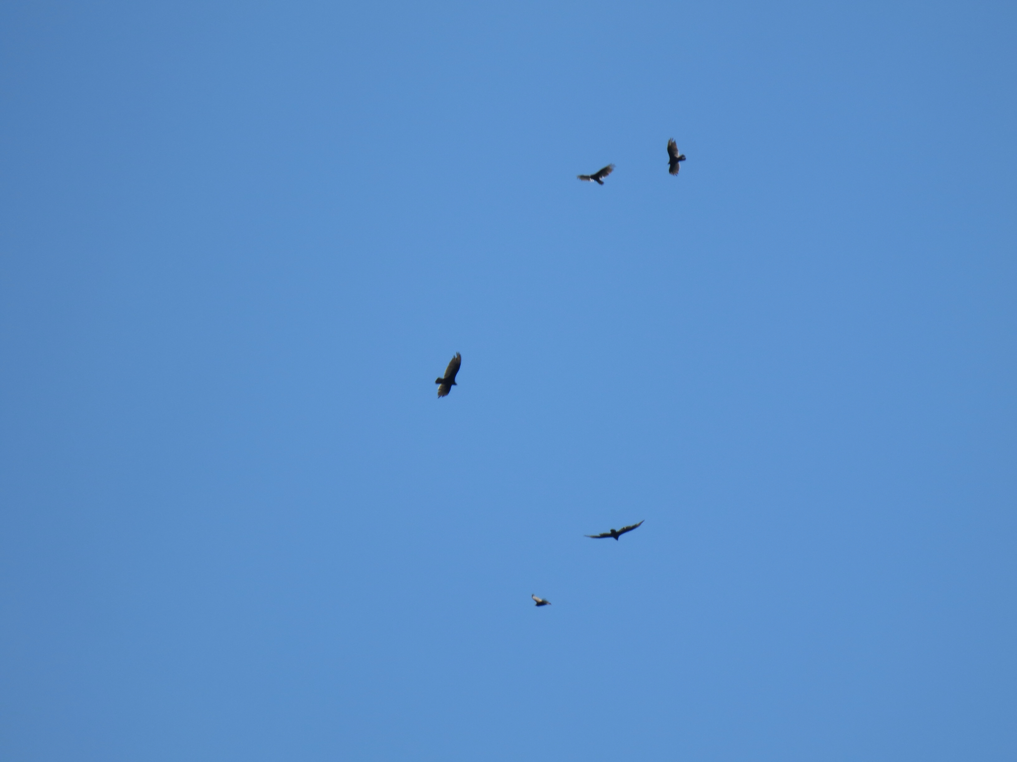
In fact, Hans could see 7 peregrine falcons in the sky at one stage.
It felt a bit like the movie The Birds for a while. One of the falcons was flying a bit lower and just above Hans for a little while, likely checking him out to see whether he would be a threat to the little ones.
This was a truly amazing sight. Hans considered himself very lucky indeed.
Hans was then slowly hiking down the ridge south on the Penobscot Mountain Trail. This is how it looked at one stage.

Here you can see the Jordan Pond House in the distance, the start and the finish of Hans hike for today.

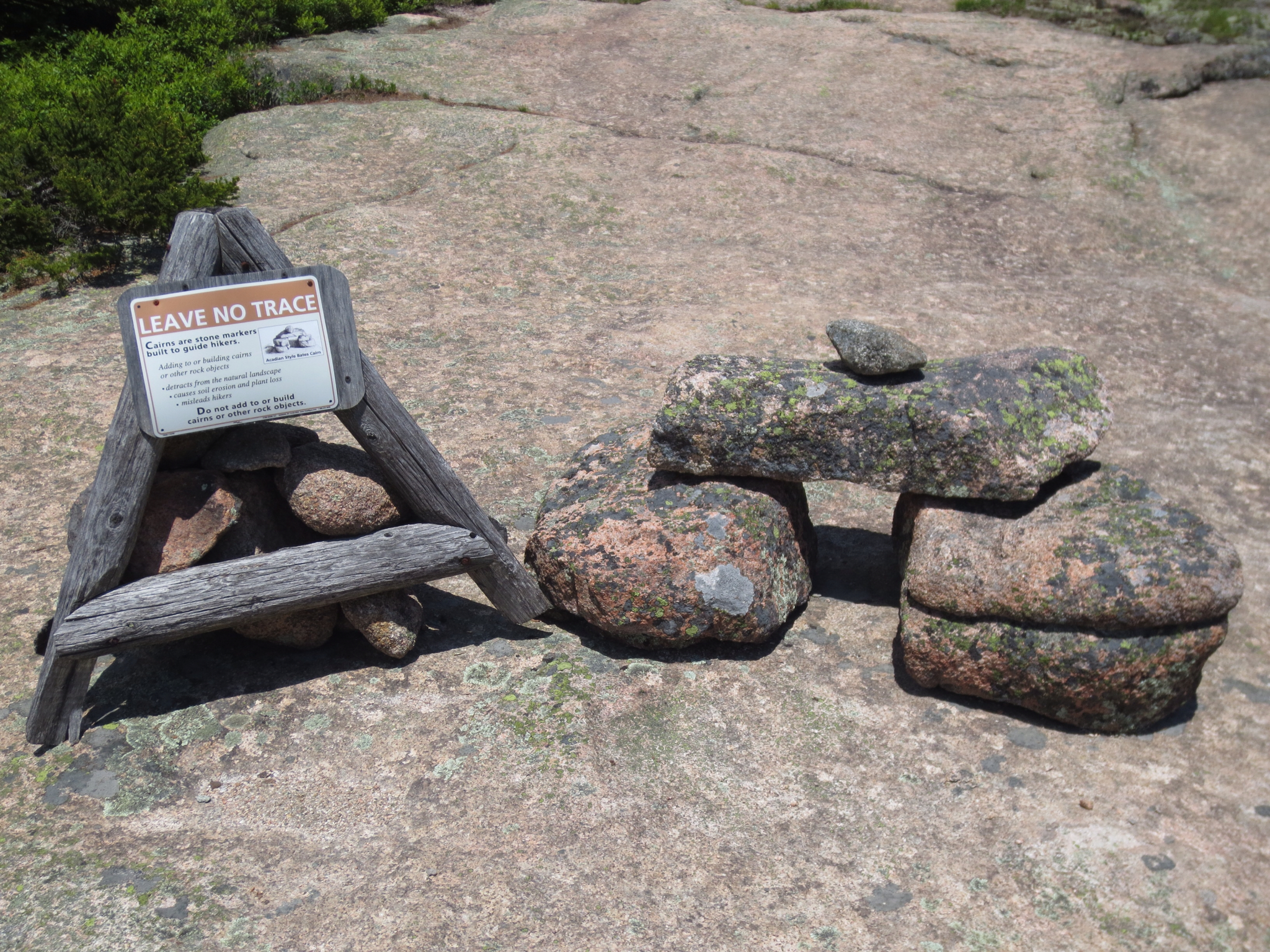
Some information about cairns... Hans suspected that some unwitting people may have created their own cairns which then had confused hikers...
For the second time on this hike, going down was a bit of a rock scramble. Hans was a bit surprised and he hadn't quite expected that. This was one of the easier sections.

Hans finished the hike just before 1pm and as he hadn't yet eaten his lunch sandwiches, so he bought himself a coffee at the Jordan Pond House and found a shady spot to sit and enjoy his lunch.
As Hans ate, he observed the comings and goings and again he found it amazing the sheer amount of oversized people even in a place like Acadia National Park (which is clearly encouraging people to get out and get moving) and has the most amazing environment, trails and carriage ways.
Lots of people seem to have driven to Jordan Pond House to... Have lunch in the restaurant. And then presumably go home again.
It was a bit of a giggle when a middle aged woman passed by with her husband. She was carrying one bottle of liquid, thrown across her body held up by a strap over her shoulder as she said "Let's go hiking...". Right...
Hans was home around 1.30pm and had another bath, third in three days, as it felt good for worked muscles.
When Hans came home he indadvertedly woke up Di who was trying to catch up on missed sleep from last night. Earlier in the day Di had hoped for a sleep-in but housekeeping arrive here quite early - they were at the door at 8.45am. So Di got up, dressed and headed to a local cafe for "plain" breakfast. Hot tea and plain pancakes were ordered - and both were excellent. In fact the pancakes were nearly the best Di had ever had. The name of the cafe was "Cafe This Way" as it as tucked down a lane behind a few buildings. We may return to try a more gourmet breakfast as it is clearly THE place for the start of a day.
Di then wandered to check out local bike rental places and unfortunately was not convinced about riding a bike around Bar Harbor and Acadia National Park. The carriage ways look fantastic but to get to them you have to ride nearly 2 miles on quite a narrow tod with heavy traffic. They all recommended taking your bike on the free shuttle bus to avoid this - but as we found out earlier this bus doesn't start running until 23 June. We seem to be just that little bit too early for a lot of things.
Back home and into bed for Di.
Di, however, got a bit of energy in the afternoon and went to the local laundromat with our dirty washing, two thirds of which was probably Hans with a lot being hiking gear that needed to be refreshed.
Other than that quite a lazy afternoon for us both.
We wander into to town for an easy Chinese dinner. The cashew chicken and the salt and pepper prawns were OK, but nothing to write home about.
However, we started chatting to our young waitress. She was from Velingrad, Bulgaria and is in the US on a work / travel arrangement of some sort. It was her 3rd day working in that restaurant and her English was surprisingly good. She wanted to go to New York as part of her travel. Very pleasant young lady who appeared very switched on.
One of our fortune cookies also made us laugh. Di got it, but it should have been given to Hans. It said "You need time to recharge. Spend time alone in nature".
Home again just before 7.30pm for a quiet night.
No comments:
Post a Comment